From short coastal walks to demanding trails. Choose a route that fits your experience and the weather.
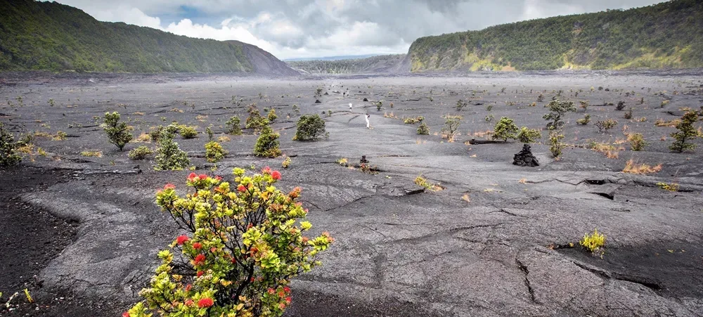 Floor of Kīlauea Iki Crater (NPS Photo/J. Wei) · NPS Photo/J. Wei
Volcano · Crater hike
Descend through forest and cross a solidified lava lake.
4.8/5 · 45 Yelp reviews
Rating & price sources
Reported by Giftly · observed 2026-10-02. Ratings can change.
Rating location: Hawaii Volcanoes National Park Crater Rim Dr, Volcano, HI
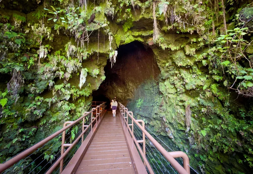 Visitors enter Nāhuku on a new bridge installed in August 2026. NPS Photo/J.Wei · NPS Photo/J.Wei
Volcano · Short walk
Rainforest and a lava tube. Check lighting and access notices.
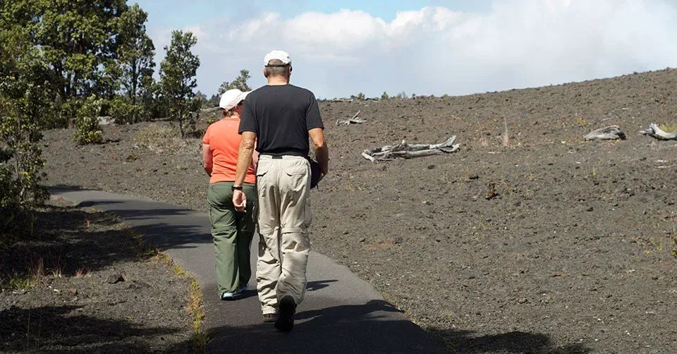 Hiking Devastation Trail NPS Photo · NPS Photo
Volcano · Paved walk
A walk through a landscape recovering from the 1959 eruption.
4.6/5 · 828 Google reviews
Rating & price sources
Reported by Wanderlog · observed 2026-10-02. Ratings can change.
Rating location: Crater Rim Drive, Volcano, HI 96785, USA
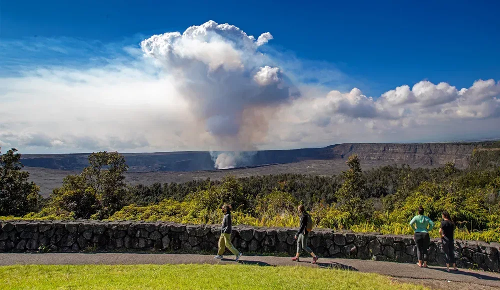 Crater Rim Trail behind Volcano House (NPS Photo/J. Wei) · NPS Photo/J. Wei
Volcano · Variable routes
Caldera views along open sections. Follow all closure signs.
4.8/5 · 4 Yelp reviews
Rating & price sources
Reported by Giftly · observed 2026-10-02. Ratings can change.
Rating location: 99252 Crater Rim Dr, Volcano, HI
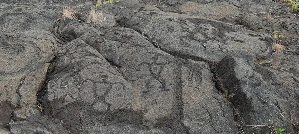 Petroglyphs at Pu‘uloa NPS Photo · NPS Photo
Chain of Craters Road · Lava-field walk
Walk to a boardwalk around ancient carvings. Do not touch them.
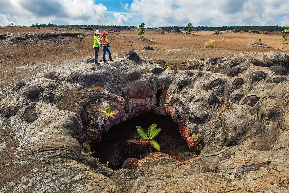 NPS Photo/J. Wei · NPS Photo/J. Wei
Volcano · Lava-field hike
Volcanic terrain and a cinder-cone viewpoint.
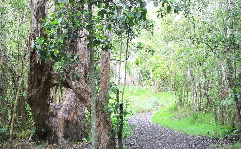 Kīpukapuaulu Trail NPS Photo/Dave Boyle · NPS Photo/Dave Boyle
Volcano · Forest loop
A forest walk known for native plants and birds.
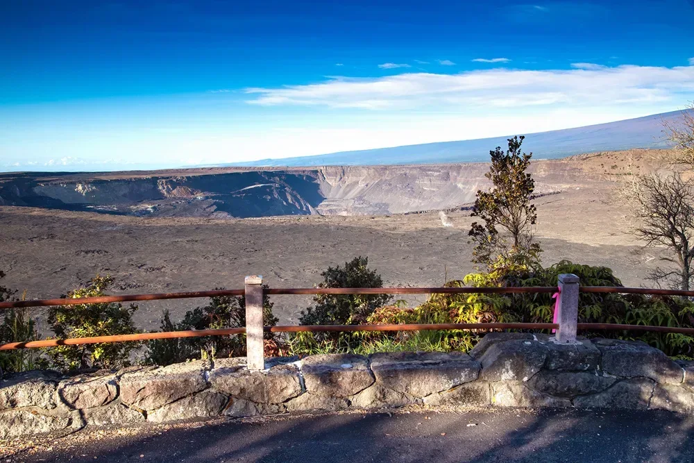 Visitors view Kaluapele (Kīlauea Caldera) from Waldron Ledge Overlook (NPS Photo/J. Wei) · NPS Photo/J. Wei
Volcano · Old road walk
An earthquake-damaged road with caldera viewpoints.
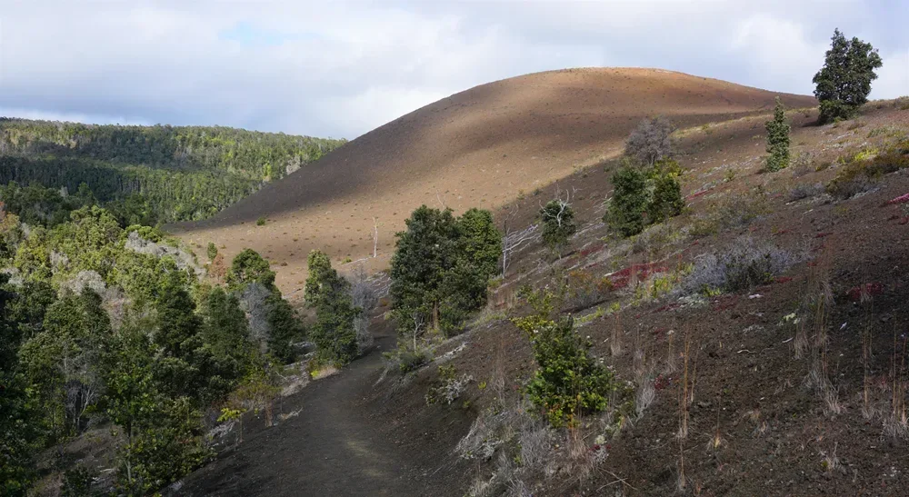 Puʻupuaʻi near Uēaloha (NPS Photo/A. LaValle) · NPS Photo/A. LaValle
Volcano · Connecting trail
A route linking crater-area hikes. Check open connections.
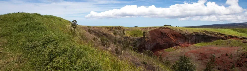 NPS Photo · NPS Photo
Kaʻū · Variable routes
Open landscapes and ranching history. Check unit operating days.
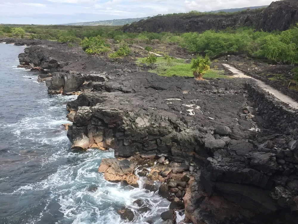 The 1871 Section of the Ala Kahakai NHT extends along the South Kona Coastline to Kiʻilae Village. NPS Photo · NPS Photo
South Kona · 2 mi round trip
Follow a historic coastal route over rugged lava. Bring water and sun protection, and leave cultural features undisturbed.
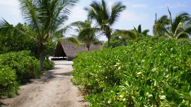 Sandy coastal trail at Kaloko-Honokōhau leading to a traditional Hawaiian hale · National Park Service (photographer not specified)
Kona · Variable coastal routes
Explore marked paths past historic Hawaiian sites. Choose your route from the park map; expect heat and little shade.
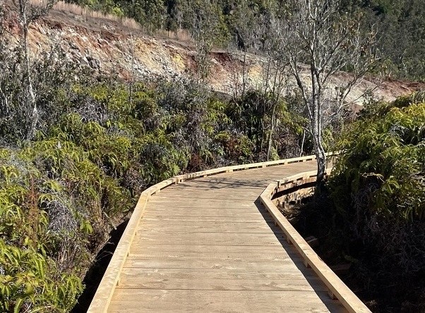 New boardwalk along Sulphur Banks Trail, Hawaiʻi Volcanoes National Park (November 2024) · National Park Service
Hawaiʻi Volcanoes National Park
Easy crater-rim walk through steam vents and sulfur deposits.
Before you hike: Check the official source for closures, permits, and trail conditions. Stay on open, marked routes.