Kekaha Kai Coastal Trail
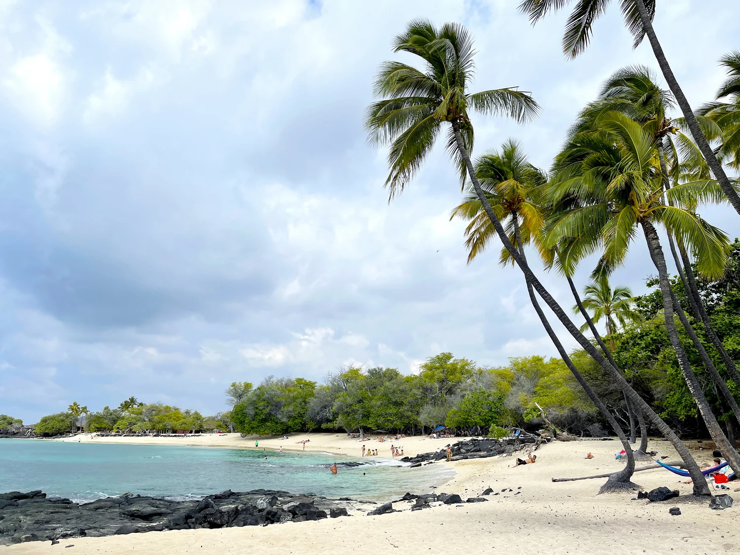
The Ala Kahakai coastal trail crosses lava fields and shorelines between the Mahaiʻula section of Kekaha Kai State Park and Kua Bay.
Getting there
Use the links for the signed entrance, current conditions, and any arrival restrictions.
Plan B: If access changes, consider this other outing on Hawaiʻi Island. Puʻukoholā Heiau Interpretive Loop. Check its access and weather first. If weather is hazardous, skip outdoor alternatives.
Plan your visit
State Parks describes about 4.5 miles north from Mahaiʻula to Kua Bay. Returning the same way adds another 4.5 miles. Carry plenty of water and avoid midday heat. Kua Bay has separate entry and parking fees; check current park hours, access-road conditions and fees before going.
Trail map & access
No verified interactive trail line is available for this guide. Use the official trail information and follow posted signs and closures.
Trail access & visitor information